Baker Wetlands
Discovery Center
One of the most diverse habitats in Kansas
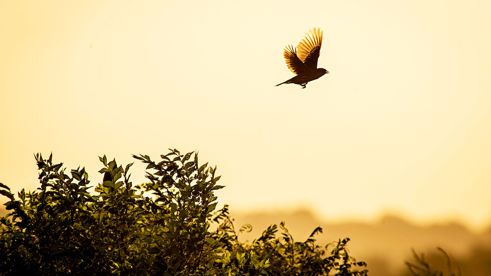
The Baker Wetlands encompasses 927 acres of rich, natural wildlife.
Follow us on Facebook for events, photos, and announcements.
Subscribe to The Heron newsletter.
Students, faculty, and nature lovers have identified 278 species of birds, 98 other vertebrate species, and 487 plant species at the Wetlands—and these counts grow with each adventure. This exceptional environment gives students a unique opportunity for increased exploration and education about biological and ecological processes.
The Baker University Wetlands work takes place on ancestral land belonging to the original stewards of these lands and watersheds: the Kaw Nation, the Osage Nation, the Kickapoo Tribe, as well as those tribal communities represented by Haskell Indian National University. We acknowledge the living history and contributions of the indigenous communities who inhabited this land before the establishment of the Baker University Wetlands.
Partnership allows collaboration on services, care, and restoration of the Wetlands
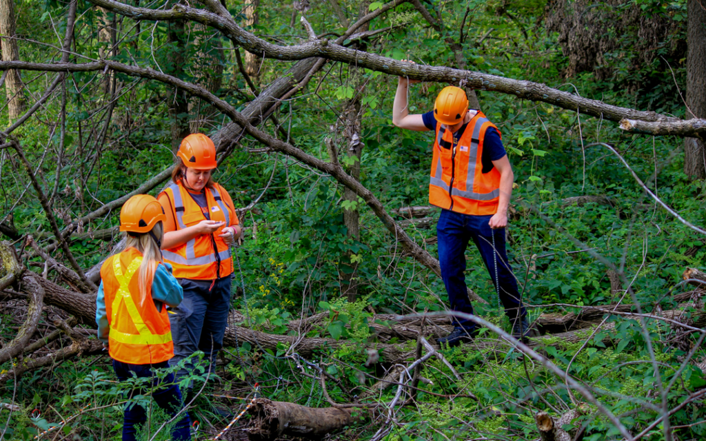
In October of 2024, Baker university entered a partnership with Ducks Unlimited and the Kansas Alliance for Wetlands and Streams to manage the Baker University Wetlands. The partnership seeks to enhance opportunities for conservation and education.
 |  |  |
The Baker University Wetlands Discovery Center & Hours
Monday – Friday
9 a.m. – noon & 1 – 3 p.m.
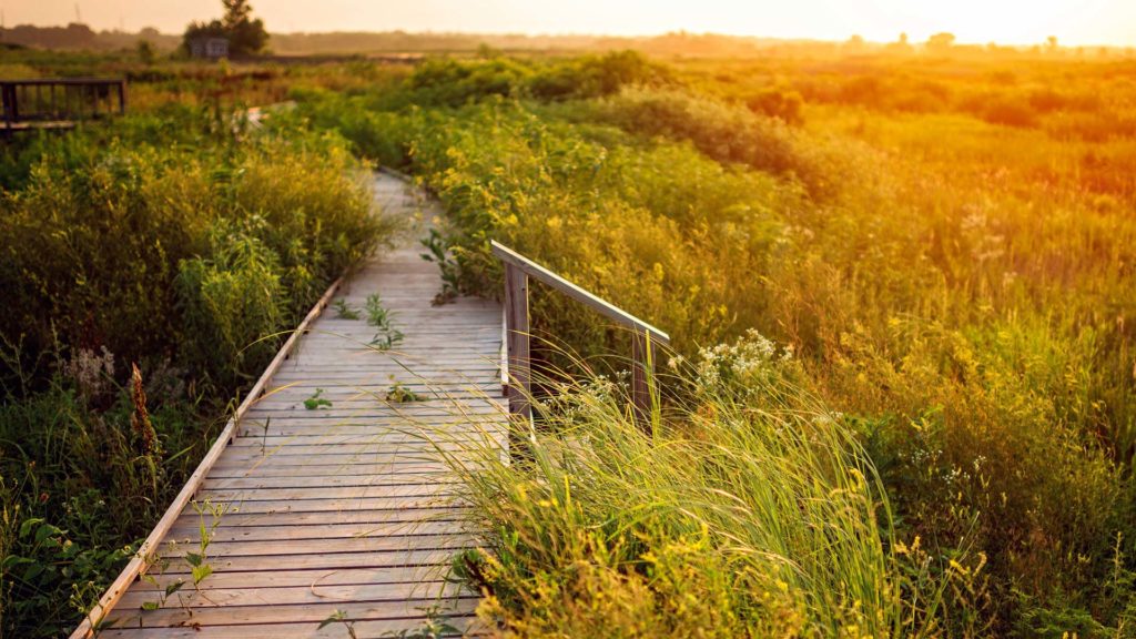
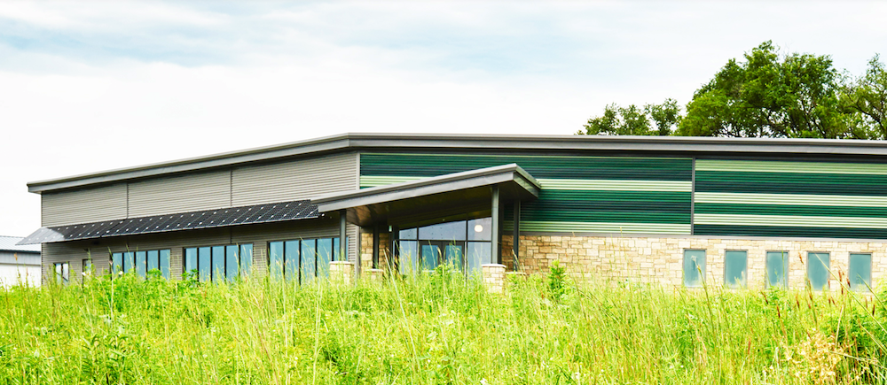
The Baker University Wetlands and Discovery Center is a paradise for our student biologists, ecologists, biochemists, and pre-health professionals. But our students aren’t the only beneficiaries of the stunning 927-acre natural habitat. Stargazers, bird watchers, and exercise enthusiasts are always bustling around the area, which is open to the public. Located just 10 miles north of the Baldwin City Campus, the Baker Wetlands is a true distinction for the university in its region.
Wetlands Rules
- Do not venture off trails. Designated trails are maintained around the property and can be used by hikers and bikers.
- Parking lots and trails are open daily from sunrise to sunset. Please do not visit the park after sunset.
- Dogs must be leashed and under your control at all times. Please clean up after your pet.
- Pack it in, pack it out. A trash receptacle can be found be the Discovery Center front door. Remember the Leave No Trace principles.
- No ATVs, motorized vehicles, or battery-powered vehicles are allowed on our trails. This excludes motorized chairs used by individuals with mobility issues. If you have questions, please contact the Discovery Center.
- Bikes and dogs are not allowed on the boardwalk.
- No hunting, fishing, or trapping is allowed anywhere on the property.
- Please do not collect items and remove them from the park. Examples include flowers, feathers, eggs and shells, nests, fur, or living animals. Leave them for others to see!
These rules are set in place to protect you and the wildlife that inhabits this land. Venturing off trails, letting your dog run loose, and driving vehicles on our property can increase the spread of invasives and can endanger native wildlife, your pets, and you. Our staff has motorized vehicles for management purposes. Please be aware that we are out on the property working to maintain the land.
Hiking Trails
More than 11 miles of trails are open from dawn to dusk so you can hike the Wetlands to your heart’s content.
Upcoming Events
Dates, times, and attendance size for scheduled programs is subject to change with new COVID-19 restrictions and protocols. For all program information, cancellations, and postponements, visit our Facebook page at Baker University Wetlands.
Registration is REQUIRED for all programs. To register, email Bluebird Taylor at bluebird.taylor-mckown@bakerU.edu or call 785.594.4703.
Scout Badge Completion — By Request
Complete scout badges at the wetlands! Contact Bluebird for more information or to schedule.
Reserve a Room | Schedule a Program
Groups visiting from other facilities or organizations with 10 or more people, including children, should schedule their visit in advance. This ensures they do not overlap with other scheduled groups or large programs.
The Wetlands staff reserves the right to ask unscheduled groups to delay their visit if the center is busy. Groups may schedule their visit by phone or email.
Contact Us
Robbie Robinson, 785.594.4700
robbie.robinson@bakerU.edu
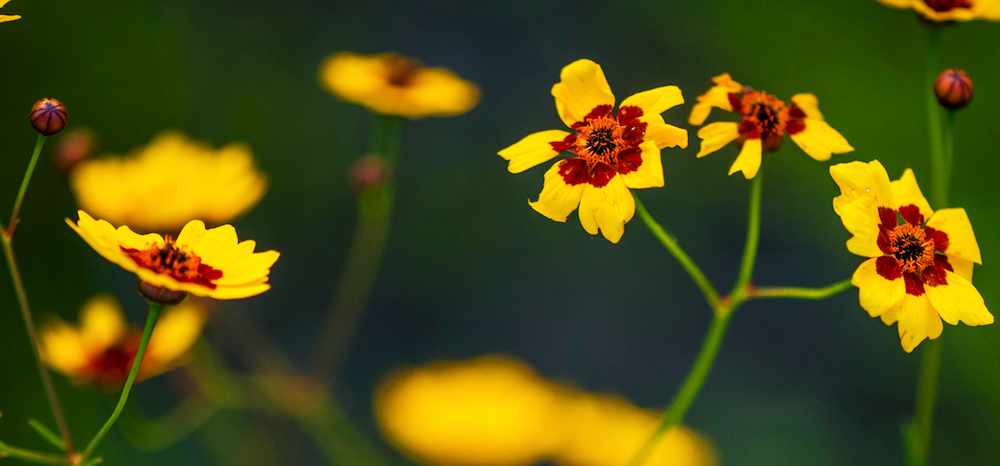
One of the Most Beautiful Spots in the Country
The Baker Wetlands is stunning. But don’t just take our word for it: Check out what HouseBeautiful magazine said when it declared the Wetlands the most beautiful place in Kansas.
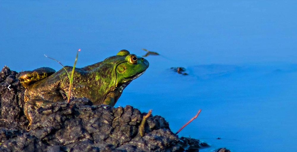
Species in The Baker University Wetlands
75%
of our electricity is produced by a 10 KWH solar array.
History of the Baker Wetlands
The Wakarusa and Kansas River floodplains have developed since the Pre-Illinoian Glacial Period ended more than 300,000 years ago. The two rivers differ significantly from each other because of the actions of this glacier and their source. The Kansas River primarily runs through various layers of sandstone and therefore its sandy substrate allows for significant meandering across a very wide basin. The Wakarusa, however, cuts through an area that was less impacted by glaciers and consists primarily of slate, shale, limestone, silt, and clay. The channel is more resistant to movement and thus the meanders in the past have been less significant, and its valley is much narrower. Its banks are steep and muddy.
Ice Age Development
Pre-Haskell Era
Haskell Era
Baker University Acquisition
Wetlands Return
South Lawrence Trafficway (SLT)
South Lawrence Trafficway: Phase I
Completion of SLT & Mitigation: Phase II
Andrew Rutter
Director, Baker University Wetlands & Discovery Center
andrew.rutter@bakerU.edu | 785.594.4702
Office: Baker Wetlands Discovery Center, 1365 N. 1250 Road
Andrew assumed the directorship position with Baker University Wetlands in 2024 as part of a partnership agreement with Ducks Unlimited Kansas and Kansas Alliance for Wetlands & Streams (KAWS).
He earned his BS in biology in 2013 from Emporia State University, and MS with the Southern Illinois University Cooperative Wildlife Research Laboratory in 2017. Andrew worked for several years as a wildlife ecologist, managing human/wildlife conflict and wildlife research in the Chicago region for the Lake County Forest Preserves. Andrew and his wife, Catherine, relocated to Lawrence in 2021 when he accepted a position with the Kansas Department of Health & Environment, working with farmers and ranchers on private lands conservation efforts to address water quality impairments. He continued those efforts in 2022 when he began a position with KAWS to address water quality impairments in the Upper Wakarusa Watershed upstream of Clinton Lake. Andrew spends much of his free time recreating on and managing his family’s property in Wilson and Neosho counties. He and his wife enjoy living in Lawrence and taking part in local events.
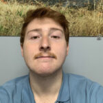
Robbie Robinson (they/them)
Discovery Center Manager
robbie.robinson@bakerU.edu | 785.594.4700
Office: Baker Wetlands Discovery Center, 1365 N. 1250 Road
Robbie was born and raised in Lawrence, Kansas, and is affiliated with the Kiowa tribe of Oklahoma and the Southern Cheyenne and Arapaho tribes of Oklahoma. They are currently majoring in ecology and evolutionary biology at the University of Kansas with special interest in freshwater fish and ecosystems.
“The Baker Wetlands completely entranced me from the moment I first visited. I saw birds that I had never seen before in the other parts of town where I grew up. And they were bountiful! That moment proved to me what a sacred place it was. It also offered me a glimpse into the past. There is a disconnect between me and my ancestors and culture, which can be accredited to decades of forced assimilation. But here, for just a moment, I wondered if the beauty of the Wetlands was similar to the beauty that my ancestors viewed daily. It felt as if the gap between us was closed for the very first time. I am so proud to be here at the Discovery Center, and I am so excited to share these invaluable ecosystems with our community.”
David Popp (he/him)
Facilities and Operations Manager
david.popp@bakerU.edu | 785.594.4701
Office: Baker Wetlands Discovery Center, 1365 N. 1250 Road
“I first served the Baker University Wetlands as an intern over two summers. I have a bit of a bias toward plants, but I also love to see the other wildlife that call the Wetlands home. I enjoy seeing interesting plants and animals and how they function within the habitat and witnessing the behaviors that arise out of these dynamics. My goal is to help expand the existing community of people who have a strong admiration for native spaces through stewardship of the land and working with other institutions and organizations, whether that’s education, conservation events, or the establishment of community seed banks.”

Bluebird Taylor-McKown (she/her)
Naturalist Supervisor
bluebird.taylor-mckown@bakerU.edu | 785.594.4703
Office: Baker Wetlands Discovery Center, 1365 N. 1250 Road
Bluebird Taylor-McKown has been working as a naturalist since 2010, working in natural areas from California to Kansas. She studied environmental analysis and design in the School of Social Ecology at the University of California, Irvine, specializing in habitat restoration, conservation, education, and protecting Native American sacred sites. She has worked with policy makers alongside the Sierra Club, the Wilderness Society, and Nature for All to create and maintain environmental education in all of our communities. Today, she continues her work educating on the importance of native habitat restoration, conservation, and biodiversity at the Baker University Wetlands Discovery Center.
The Wetlands Discovery Center
The Baker Wetlands is located on the south side of Lawrence in Douglas County in northeastern Kansas, approximately 45 miles west of Kansas City. From US 59 on the south side of the South Lawrence Trafficway and K10 interchange, turn east on N. 1250 Road and go 0.7 miles to the parking lot of the Discovery Center. Follow signs to the entrance. From 31st Street come south on a new road called Michigan (opposite the Menards Store) to N 1250 Road, turn left (east) 0.2 mi to the Discovery Center parking lot.
20
Minutes from Baldwin City
48
Minutes from Kansas City
1365 N 1250 Road Lawrence, KS 66046
Get Directions